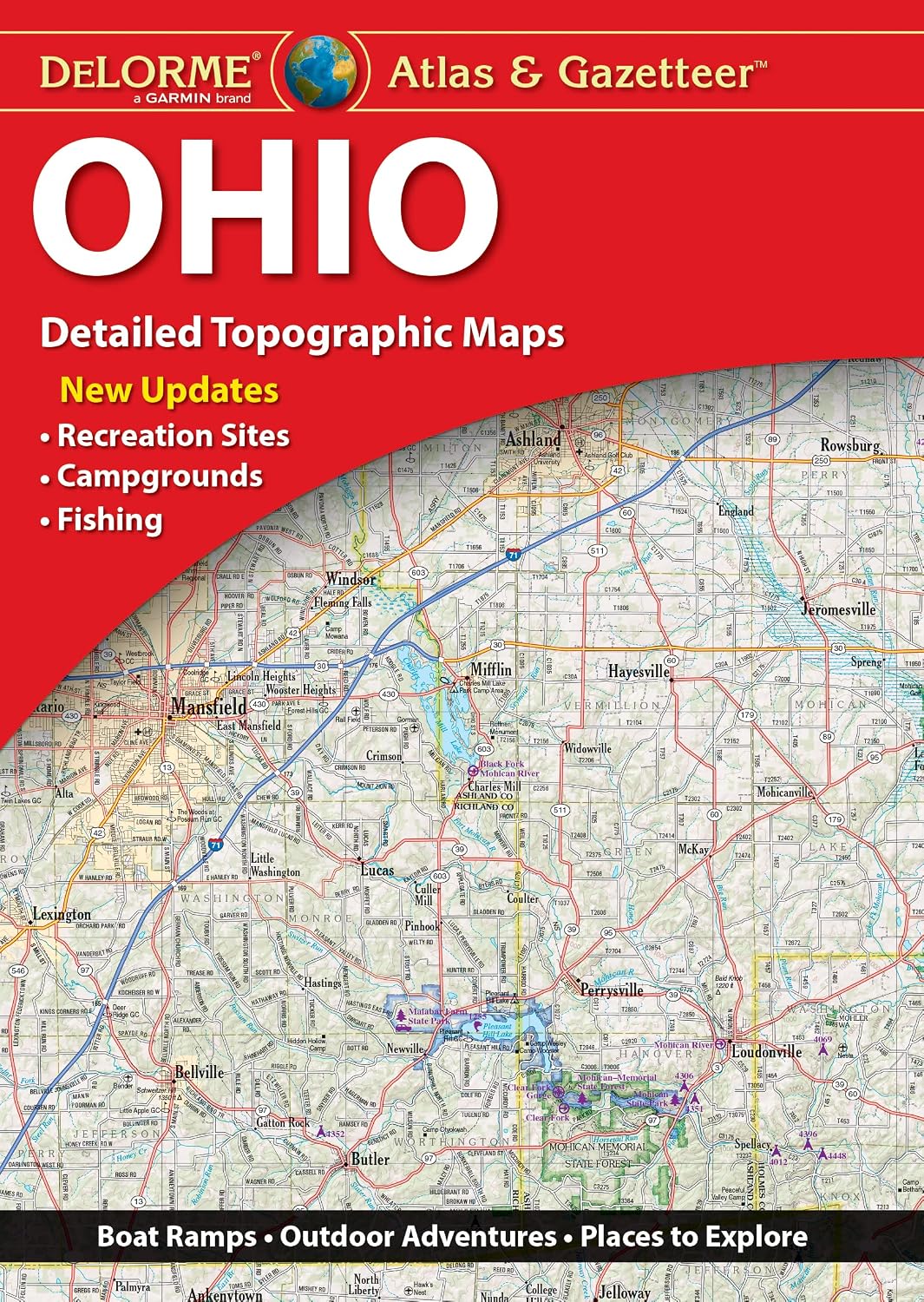
Features
Regularly updated, full-color maps
30% larger map with a bigger type size than the Rand McNally Folded Map
Clearly labeled Interstate, U.S., state, and county highways
Indications of parks, points of interest, airports, county boundaries, and more
Mileage and driving times map
Detailed index
Copyright 2022
Coverage Area Detailed maps of: Bellingham, Mount Rainier National Park, Olympia, Seattle/Tacoma & Vicinity, Downtown Seattle, Spokane, Vancouver, Yakima
Discover More Best Sellers in Atlases & Maps
Shop Atlases & Maps

 Atlases & Maps - Transit Maps of the World: Expanded and Updated Edition of the World's First Collection of Every Urban Train Map on Earth

Rand McNally Easy To Read Folded Map: Ohio State Map
Atlases & Maps - Rand McNally Easy To Read Folded Map: Ohio State Map

Rand McNally Easy To Read: Alaska State Map
Atlases & Maps - Rand McNally Easy To Read: Alaska State Map

Rand McNally Easy To Fold: Arkansas State Laminated Map
Atlases & Maps - Rand McNally Easy To Fold: Arkansas State Laminated Map

Puerto Rico Map (National Geographic Adventure Map, 3107)
Atlases & Maps - Puerto Rico Map (National Geographic Adventure Map, 3107)

New Zealand Map (National Geographic Adventure Map, 3500)
Atlases & Maps - New Zealand Map (National Geographic Adventure Map, 3500)

Rick Steves Italy Planning Map: Including Rome, Florence, Venice & Siena City Maps
Atlases & Maps - Rick Steves Italy Planning Map: Including Rome, Florence, Venice & Siena City Maps