Features
Regularly updated, full-color maps
45% larger map with a bigger type size than the Rand McNally Folded Map
Clearly labeled Interstate, U.S., state, and county highways
Indications of county boundaries, schools, shopping malls, parks, golf courses, hospitals, airports, and points of interest
Mileage and driving times map
Detailed index
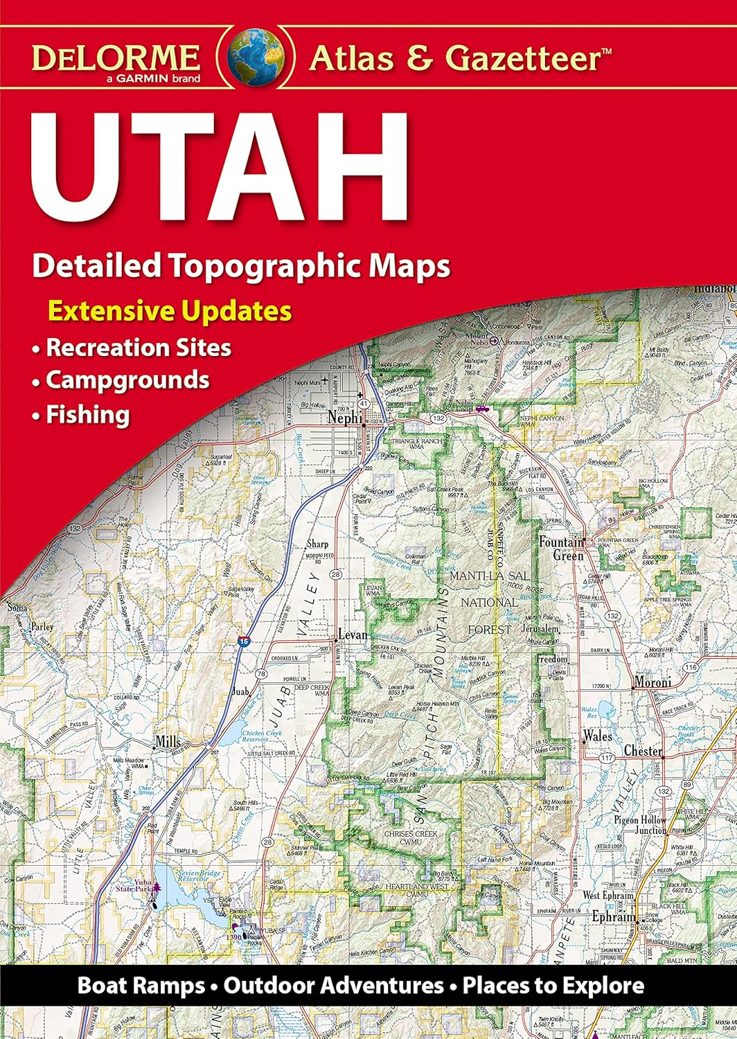
Copyright 2024
Coverage Area Detailed maps of: Ann Arbor, Detroit & Vicinity, Downtown Detroit, Flint, Grand Rapids, Kalamazoo, Lansing, Muskegon, Saginaw
Discover More Best Sellers in Atlases & Maps
Shop Atlases & Maps


Rand McNally Folded Map: Dallas Fort Worth Regional Map

 Atlases & Maps - Rand McNally Folded Map: Dallas Fort Worth Regional Map

Rand McNally Easy To Read Folded Map: Florida State Map
Atlases & Maps - Rand McNally Easy To Read Folded Map: Florida State Map

Rand McNally Easy To Read: Missouri State Map
Atlases & Maps - Rand McNally Easy To Read: Missouri State Map

Rand McNally Easy To Fold: Delaware, Maryland Laminated Map
Atlases & Maps - Rand McNally Easy To Fold: Delaware, Maryland Laminated Map

Rand McNally Easy to Fold: Texas State Laminated Map
Atlases & Maps - Rand McNally Easy to Fold: Texas State Laminated Map

Great Maps: The World's Masterpieces Explored and Explained (DK History Changers)
Atlases & Maps - Great Maps: The World's Masterpieces Explored and Explained (DK History Changers)